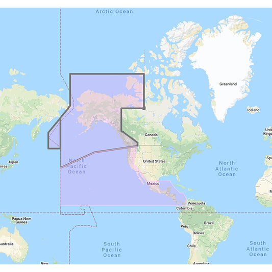

US & Canada Pacific Coast, Hawaii, Alaska, Mexico to Panama - C-MAP Mega Wide Chart
**SYSTEM ID REQUIRED TO RECEIVE UNLOCK CODE**
C-MAP Mega Wide Chart - U.S. & Canada Pacific Coast, Hawaii, Alaska, Mexico to Panama. Vector charts, 3D data & standard resolution satellite photos.
This Chart Pack includes vector charts, 3D data and standard resolution satellite photography for the US and Canadian Pacific Coast, Hawaii, Alaska, and Mexico to Panama. C-MAP chart data is used and converted to the TimeZero format.
These C-MAP charts are comprised of the same cartographic chart information found in C-MAP MAX and C-MAP MAX PRO charts.
Recently Viewed
Don't forget! The products that you viewed. Add it to cart now.
People Also Bought
Here’s some of our most similar products people are buying. Click to discover trending style.

